
Login/Register
An Eye on the Sky: What’s Next for Drone Monitoring (Part 2 of 2)
Dr. Sergio Rodriguez
January 5, 2022
|
Unmanned aerial vehicles (UAVs), urban air mobility (UAM), and unmanned aerial systems (UAS) are all concepts that are becoming increasingly talked about, but they are still at a development stage. In this second part of a two-part article, Access Partnership gives us its take on how one component of this market – drones – will be safely monitored. |
Having explored the technology available for drone detection and aerial tracking in the first part of this article, we can examine these aspects from the user’s point of view.
Mobile applications or web pages are undoubtedly better gateways to inform users about aerial activity in their surroundings. This trend is becoming a base plate for the next set of developments. The user would be more comfortable looking at a map and a drone icon pinpointing its movement, rather than bulky equipment and a typical black screen throwing up complex metrics.
Further to the hardware revolution in drone detection systems, classification must be another key aspect of aerial unmanned traffic and this must be supported by enabling regulation on intelligent detection systems. This feature will determine the purpose of any individual vehicle in transit within an invigilated airspace.
Identification and classification by activity
By classifying the drone activity in the skies not only will there be better control of the programmed and expected movement of the service UAVs, there will also be a timely alert of any potential malicious drones surrounding an area of interest. The possibilities are endless when thinking about the illegal and/or malicious use of drones.

AeroScope from DJI is a comprehensive drone detection platform that rapidly identifies UAV communication links. (Image courtesy of DJI)
According to Statista, in North America sales of consumer drones to dealers surpassed $1.25 billion in 2020, however, only 869,994 drones are currently registered with the Federal Aviation Administration (FAA) of which 350,608 are commercial vehicles and 515,997 are recreational. There is a similar breakdown in the UK, based on data from the UK Civil Authority.
The figures suggest that most registered vehicles to be of personal, non-commercial use which, despite being registered, could be used for malicious purposes. Illegal or unauthorized drones could disrupt the privacy of a household, smuggle illegal merchandise or, in the worst case, drop explosives over a target. For this purpose, the classification of UAVs must be a priority for the drone detectors and trackers, and this is an observed growing trend.
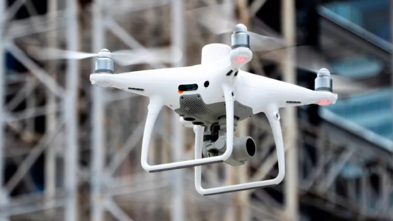
The number one drone manufacturer in the global market DJI has taken the first step in integrating a classifier with a user-friendly drone detection platform: DJI Aeroscope. DJI recently unveiled an innovative RF/radar sensor able to detect, track, monitor, and classify any drone activity within a range of 50km if these vehicles are built by DJI.
An overview of Kespry’s Aerial Intelligence capabilities.
Since DJI drones constitute nearly 70% of the market, a DJI Aeroscope could cover a large proportion of the possible unauthorized flights within the coverage area and, of course, this sensor displays a map with real-time drone movement. It is therefore expected that the rest of the leading UAV manufacturers – including Parrot, Yuneec and Kespry – will follow this trend soon.
A mix of platforms
This will allow a unified standard to keep track of manufacturers’ own drones using similar interfaces, or there could be agreement on the compatibility or interoperability of these platforms within a single mobile app or website. An example of this type of platform is AirMap which can be downloaded for Apple devices and has started to gather relevant data from different sensors around the world.
All in all, the current trends on drone tracking systems seem to be adapting well to the upcoming developments from the lead manufacturers. However, special attention is suggested to develop easily accessible platforms where relevant data about drone traffic can be consulted on the go.
While it is true that the latest hardware are incorporating the best available commercial technologies and are powered by artificial intelligence, it is essential to consider the user as the new recipient of this information and not a specialised business capable of understanding complex and large amounts of data. Governmental legislators and regulatory authorities are also adapting the rules to enable this integration to a brave new world. That world must stay on the path of reaching a unified solution.
In conclusion, there is still a long way to go in terms of full integration of drones into our daily lives, in part slowed down by the impact of COVID19. The pandemic still could potentially affect trends depending on how the technology giants in this field rearrange their priorities.
There is also a possibility of enabling drone traffic with more relaxed legislative control which could unlock remote-controlled logistics and support a new, home-based business model. Drone manufacturers and drone detectors will keep evolving as technology will tend to automate more aspects of our daily lives.